Day 7
Headed home on this day (Wednesday the 6th).
So I basically said my thanks and goodbyes yesterday
evening, and got up this morning around 7am to head to the airport.
Erin came along to say goodbye, and and we got there a little after
8am. I loaded my stuff, did my preflight, and fired up so I could
taxi over to the fuel pumps (about a quarter of a mile down the
runway) and fill up. Erin and Dan hopped in to help out.
Anyhow, I topped off the plane, took them back to the airport office to drop them off, got off the ground at about 8:50am eastern time.
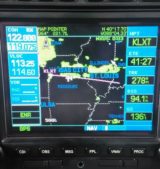
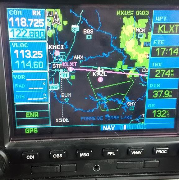
I departed runway 27 directly to the west, and was climbing at my best rate averaging about 1,000 feet per minute. When I got to about 2,500 feet MSL (Mean Seal Level) I called Evansville Approach and got "flight following" so I could have some assistance avoiding other air traffic and potentially restrictive airspace. It was about that time that my ADSB receivers were displaying the weather they were picking up in Missouri, and both of my receivers were seeing this:
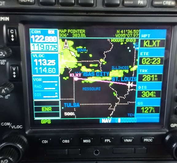
The above image is my Garmin530 seeing the ADSB weather data that is
broadcast by towers all over the country, and I should mention that
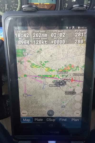
the below pic is my tablet seeing the same data. These pics are
showing the same weather at slightly different times amd displaying
it in slightly different ways. It's kinda redundant to have both, but
I like having it on my tablet as well because it allows me to filter
out the weather / navigation info / traffic in different ways.
Anyhow, the upcoming weather caught my attention.
I was up at 8,500 feet MSL and as I saw the clouds situated above St.
Louis I was a bit worried. However, I was pretty sure that I'd be
over the tops of them (I ended up having to climb up to 9,000 feet as
I was vectoring around St. Louis).
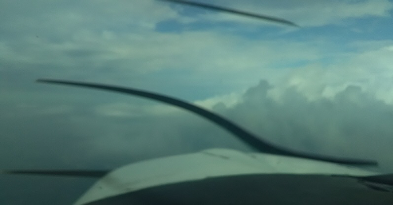
This picture was taken over Belleville, Illinois at 9:06am just as I
began to turn Southwest to avoid all this crap.
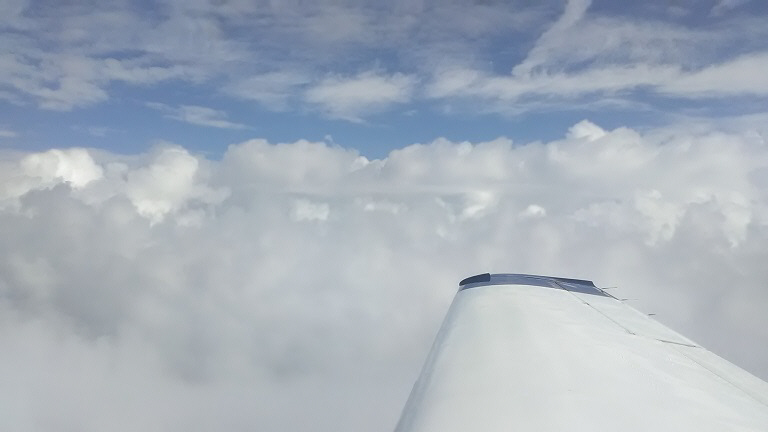
This picture looking North across the cloud deck, was taken just over
Cahokia, IL at about 9:09am CST. Super pretty, but those puffy clouds
can be extremely turbulent and dangerous. Just over the St. Louis
metro, the clouds formed somewhat of a shelf / step where the frontal
boundary was along I-70 and they were much higher and thicker to the
north. I was VFR so it was up to me to navigate on my own, but just
for traffic avoidance I let St. Louis approach know that I was
deviating from my course to avoid the weather and the countroller was
helpful and gave me some vectors to avoid other traffic in the area
(it was really difficult to spot other planes departing and arriving
at the major St. Louis airports because of the thick clouds sitting
at about 7-8 thousand feet).
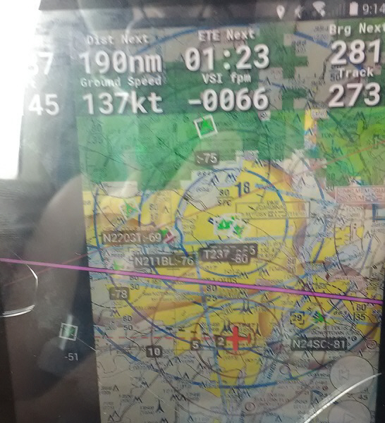
The above pic was taken on my phone looking at the display on my
tablet. You can see a handful of other air traffic "targets"
coming into or leaving the area (they are all several thousand feet
below me), as well as the line of rain to the north.
With help from the local controller(s), and having on-board weather
(the above-pictured ADSB radar data), I made it through the bulk of
the stuff and it thinned out drastically once I got West of St. Louis.
As I was approaching the Jefferson City area that's when I started to
see the ground and the Missouri River appeared:
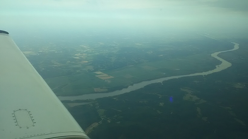
At 9:57am while over the Jefferson City area I wasn't doing too well
as far as ground-speed department (I was only getting around 130
knots or 150 mph most of the way) but at least I was only about 40
minutes from home.
As I came up on the Truman MOA (Military Operations Area) around
Whiteman, I started to descend to get underneath it (the
"floor" of that particular MOA is 8,000 feet) and to start
setting the plane up to land, slowing down, etc.
And then I was home at about 10:40am after less than three hours in the air! Time to unpack the plane.
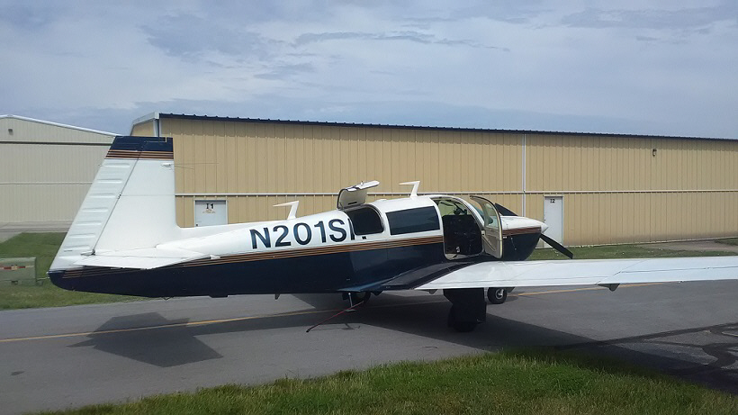
Thanks to the headwind, wat was about a 2 ½ hour
flight there on Thursday was about a 3 hour flight home.
Oh well. N201SR is all packed away and ready for the next crosscountry adventures including Oklahoma City later this month and a West Coast loop in late August / early September.