DAY 4
Got up on Sunday morning, checked weather, and saw
that we'd be leaving Indiana in marginal VFR conditions and hit some
hard IFR along our route.
Anyhow, I filed an IFR route for a noon departure from
the Huntingburg airport and we headed that way.
Once at the airport I ammended my flight plan (yay for
1800wxbrief.com!) because we were running late. We got off the ground
around 12:30pm and picked up my IFR flight plan from Evansville
approach and climbed up to 13,000 feet going through some thick
clouds along the way.
We ultimately got vectored due East to get around the
storm cells.
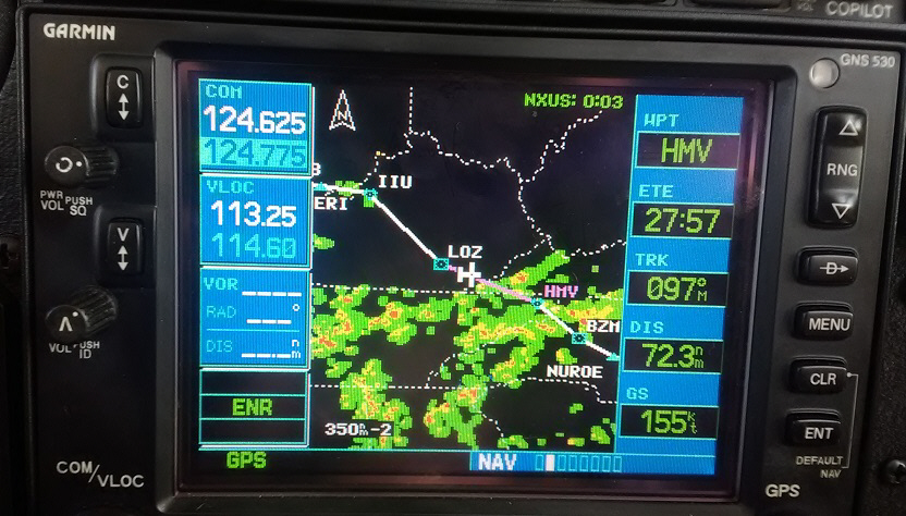
My 530 GPS was following our IFR routing. This was
taken just prior to getting vectored around that precipitation. Note
the 155 knot ground speed.
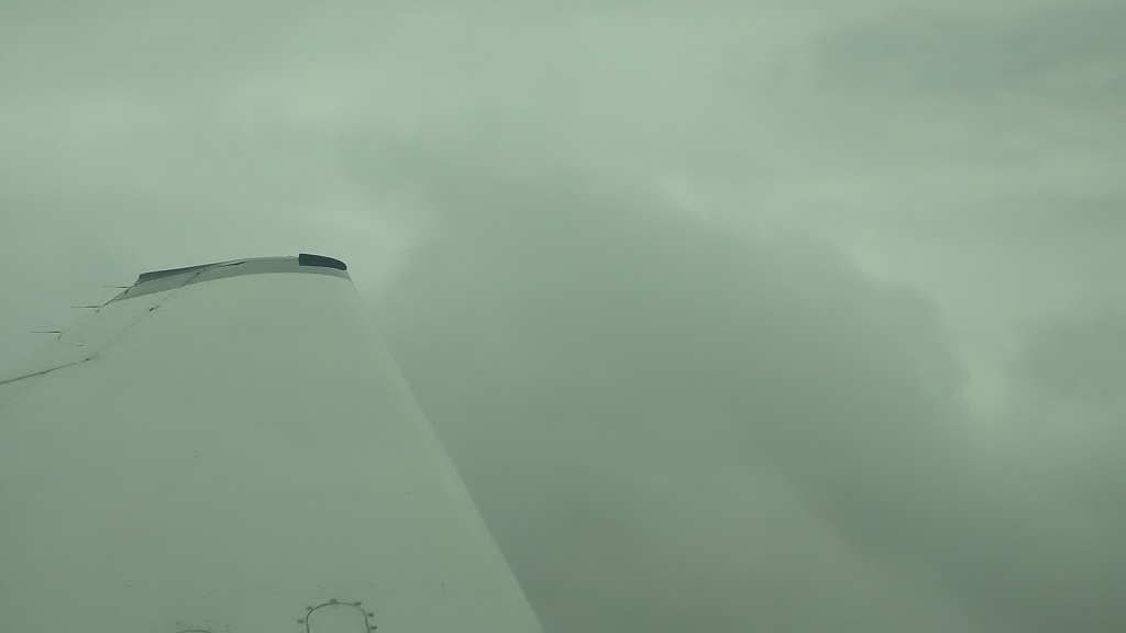
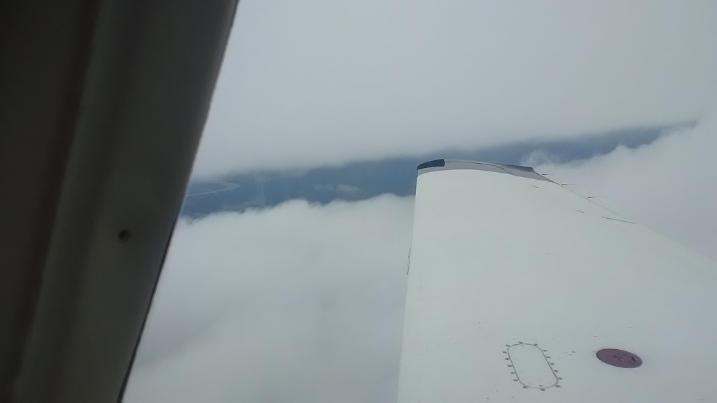
However, we were in and out of the soup this entire
flight for just over 3 ½ hours of actual IMC (instrument
meteorological conditions) time.
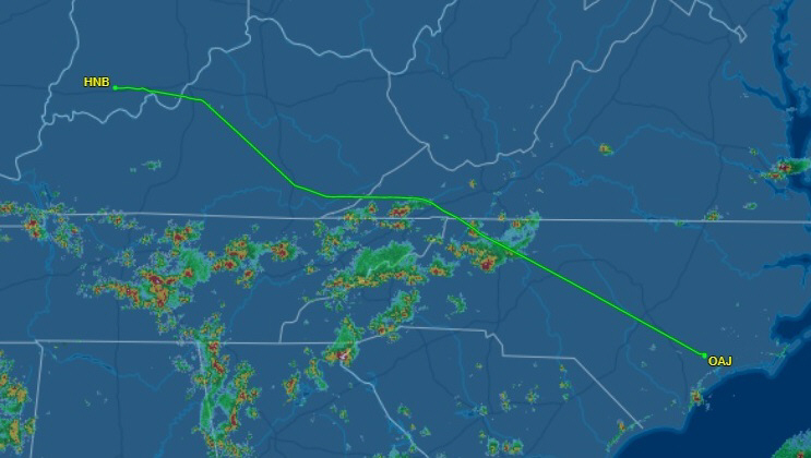
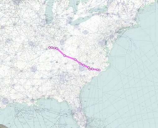
The flightaware tracking shows our eastern vector
around the rain. Once we got out of it, ATC gave us "direct to
destination" which saved a little time.
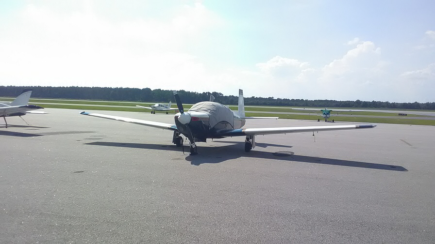
All tied down and covered at Ellis airport in
Jacksonville, NC.
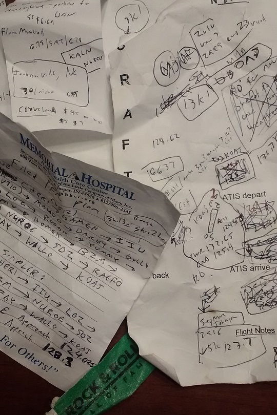
My notes that I took during this IFR leg. Scribbles.
Lots of scribbles.
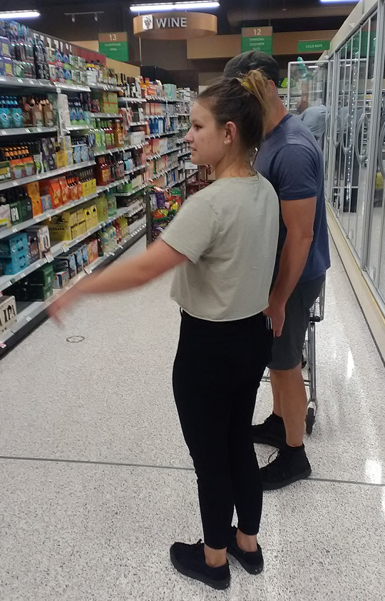
Amber grabbed us from the airport and showed us where
to get some good drinks. Adult drinks.
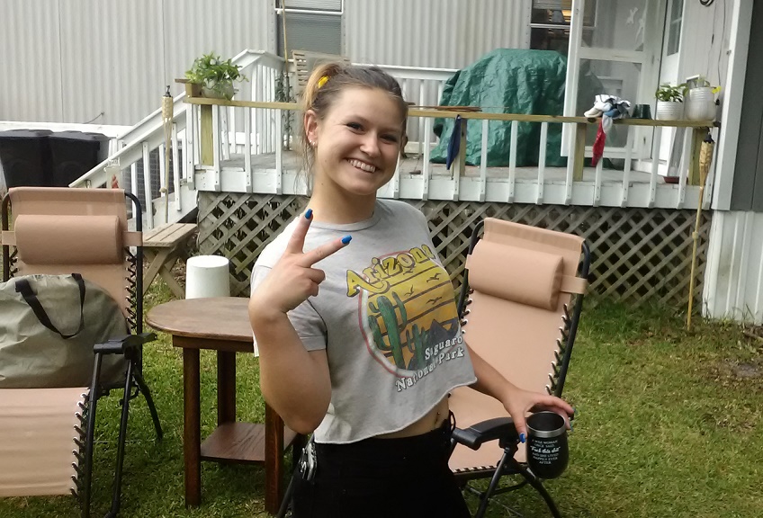
Then she showed us around the neighborhood.
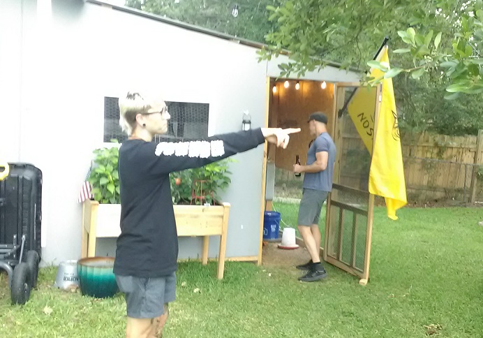
Bry helped on the tour.
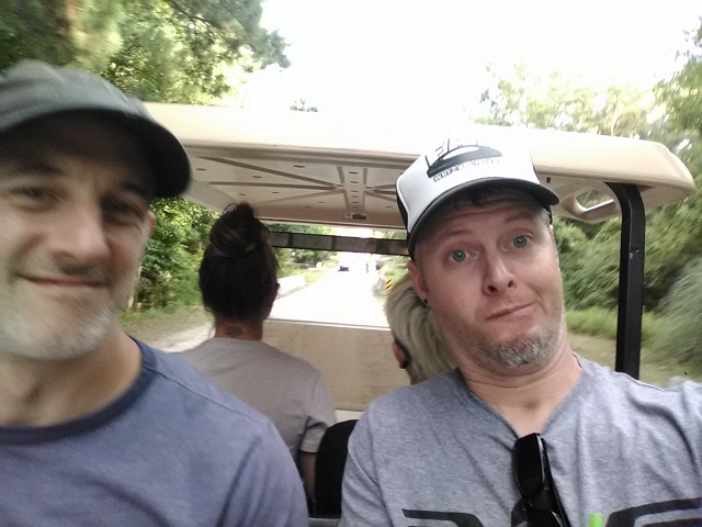
After a bit we decided to take a golf cart ride.
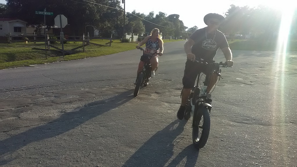
That turned into a golf cart chase.
Rob and Jenn were in hot pursuit.
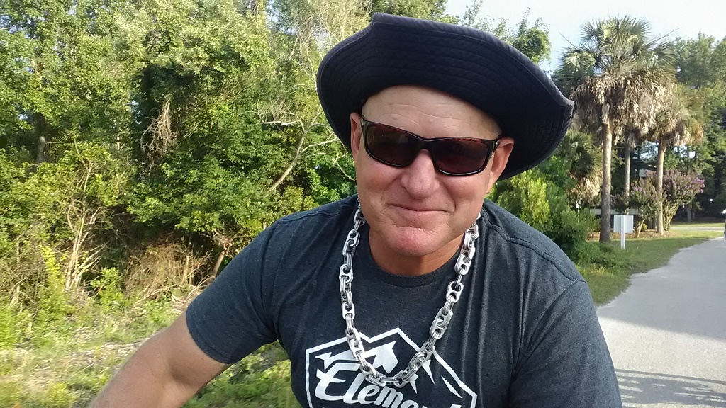
Then we hit up a few places for drinks.
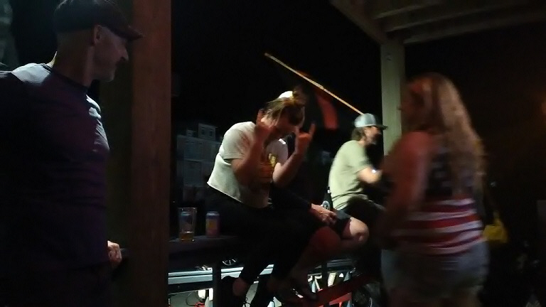
^ at the bar.
That's all I have for this day. As of now (July Fouth
at 10:30am) we're just hanging out and figuring out what we're gonna
do for today and then for tomorrow (potentially First Flight airport
in Kitty Hawk?) before heading back to Indiana.
Day 5